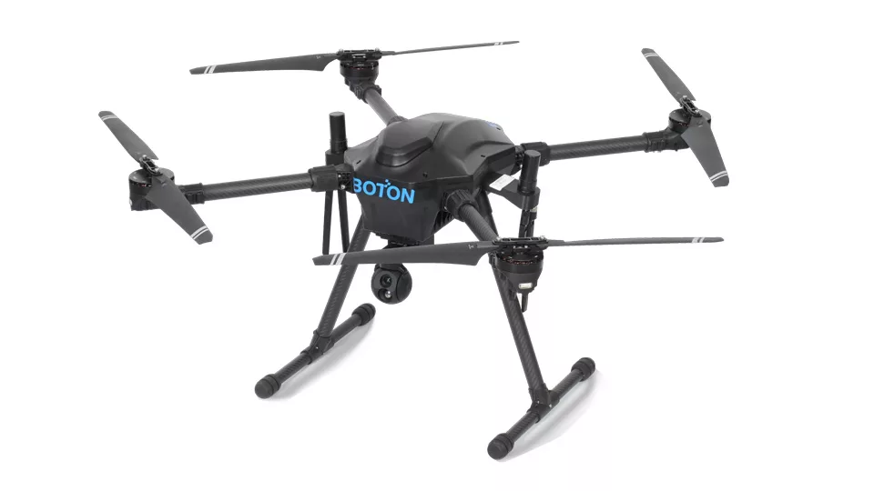










Industrial Conveyor Inspection UAV | BT88
GNSS + SLAM Inspection Across Indoor and Outdoor Industrial Sites
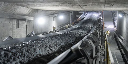
One platform, two positioning methods: outdoor use with GNSS (Global Navigation Satellite System), and in environments without satellite signals, it switches to laser and visual fusion SLAM (Simultaneous Localization and Mapping); the BT88 seamlessly transitions between coal mine tunnels, steel plant towers, port yards, cement silos, and power plant material warehouses, providing an all-weather alternative to manual inspections 24/7.
Download Brochure