






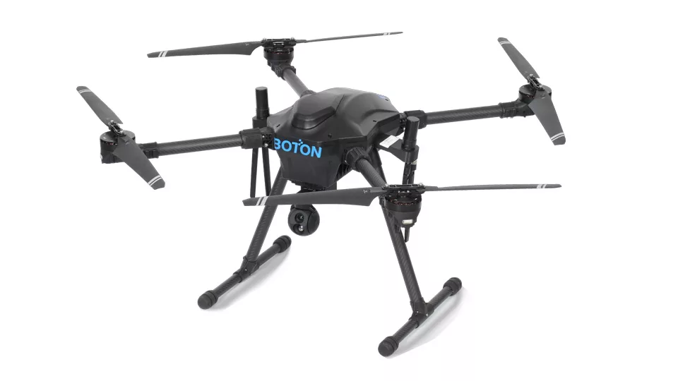
Industrial Conveyor Inspection UAV | BT88

GNSS + SLAM Inspection Across Indoor and Outdoor Industrial Sites

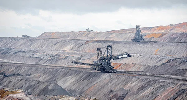
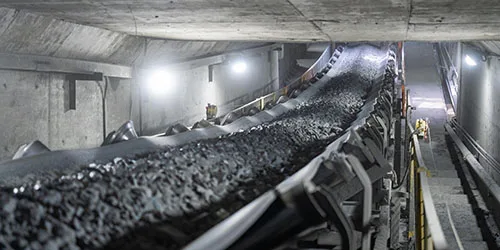
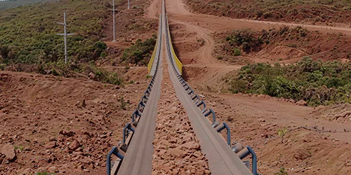
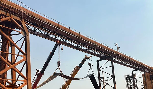
One platform, two positioning methods: outdoor use with GNSS (Global Navigation Satellite System), and in environments without satellite signals, it switches to laser and visual fusion SLAM (Simultaneous Localization and Mapping); the BT88 seamlessly transitions between coal mine tunnels, steel plant towers, port yards, cement silos, and power plant material warehouses, providing an all-weather alternative to manual inspections 24/7.

  Download Brochure
Industrial Conveyor Inspection UAV | BT88

Main Features & Benefits

  • Full-Scenario High-Precision Positioning & Map Visualization
  • Ultra-Fast AI-Powered Fault Detection & Alert
  • Multi-UAV Coordination & Cloud-Based Centralized O&M
  • Open Compatibility & Unmanned Non-Stop Inspection

Full-Scenario High-Precision Positioning & Map Visualization

It supports 2D/3D real-time maps with switchable GNSS and SLAM positioning modes. Equipped with a "Teach-Learn-Replay" route library, it enables rapid deployment across multiple sites, adapting to both GPS-denied underground spaces and open yards.

Full-Scenario High-Precision Positioning & Map Visualization

Ultra-Fast AI-Powered Fault Detection & Alert

Embedded industrial AI algorithms automatically identify typical hazards including belt drift, belt tear, material blockage and gas leakage within 3 seconds, with multi-sensor fusion to accurately capture hidden equipment risks.

Ultra-Fast AI-Powered Fault Detection & Alert

Multi-UAV Coordination & Cloud-Based Centralized O&M

Up to 10 drones can operate simultaneously under coordination. Relying on the DF-Cloud big-data platform, it delivers cross-plant centralized monitoring via mobile and large-screen dashboards. Inspection data is auto-archived, and predictive maintenance reports cut equipment downtime by 30%.

Multi-UAV Coordination & Cloud-Based Centralized O&M

Open Compatibility & Unmanned Non-Stop Inspection

RESTful APIs allow seamless integration with factory DCS/SCADA/MES systems. The optional DF05 autonomous dock works in -20 ℃ to +65 ℃ outdoor conditions with 3-minute battery swap, realizing true unmanned, round-the-clock multi-scenario continuous patrols.

Open Compatibility & Unmanned Non-Stop Inspection
Dual-mode positioning
Open-sky / stockyard: Outdoor/yard: GNSS (GPS/Beidou/Galileo/GLONASS) RTK positioning accuracy of <±0.5 m.
Long endurance & high agility
66 min (no load) / 32 min (5 kg payload), maximum speed of 20 m/s
Integrated triple-sensor payload (total ≤ 5 kg)
LiDAR: 360° point cloud, 200 m range, 200 k pts/s density, 3-D mapping, auto obstacle avoidance Vision: 4K visible + 640 × 512 IR, 50 mK thermal sensitivity—detects belt drift, silo cracks Gas: CH₄, CO, H₂S, O₂, PM2.5/10 (expandable), ppb-level resolution

Application Gallery

Techincal Details

ItemSpecificationItemSpecification
Airframe4-rotor, carbon fiber, IP54Control range15 km LOS
Dimensions685 × 685 × 470 mm deployed / 440 × 330 × 470 mm foldedPositioning accuracyRTK ≤ ±0.5 m / SLAM ≤ ±0.2 m
Max take-off weight7 kgOperating temperature–20 °C to +55 °C
Payload capacity5 kg (LiDAR + vision + gas combined)Wind resistanceBeaufort 6 (12 m/s)
Endurance66 min (empty) / 32 min (max payload)Communication2.4 GHz FHSS; optional 4G/5G/fiber-optic link

"*" indicates required fields

This field is for validation purposes and should be left unchanged.
Name*


Let's Talk!

Whether you have a question about our services, a project idea, or just want to say hello, we're here to listen.

Desktop mode detected.
Please switch to mobile view for a better browsing experience.